Trimble Business Center (Aerial)
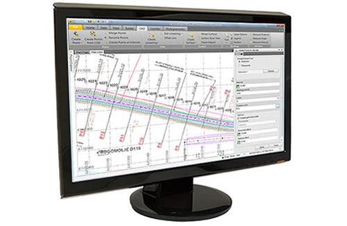
Trimble Business Center is office software for surveyors. Its field-to-finish survey CAD software helps surveyors deliver high accuracy GNSS data, create CAD deliverables, and leverage full data traceability throughout a project’s lifecycle. Trimble Business Center is a powerful software package that can handle a range of data types, has an array of tools, and can produce a variety of deliverables.
Specifically for the aerial market, this software has an add-on aerial photogrammetry module that is based on state of the art technology from Inpho, and allows users to integrate photogrammetry with data collected from GNSS receivers, total stations, and digital levels to efficiently map large and complex sites. Deliverables direct from Trimble Business Center include orthophotos, 3D point clouds and digital surface models.
¦